

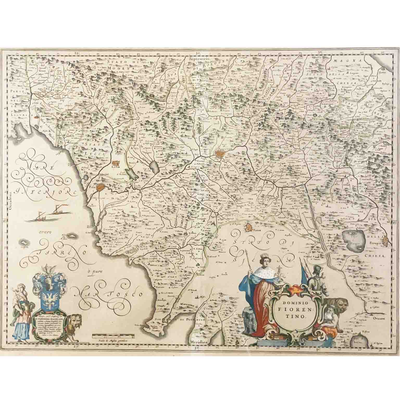


Theodoro Hasselaer 1642 Florentine Domain Map, Framed
350,00€
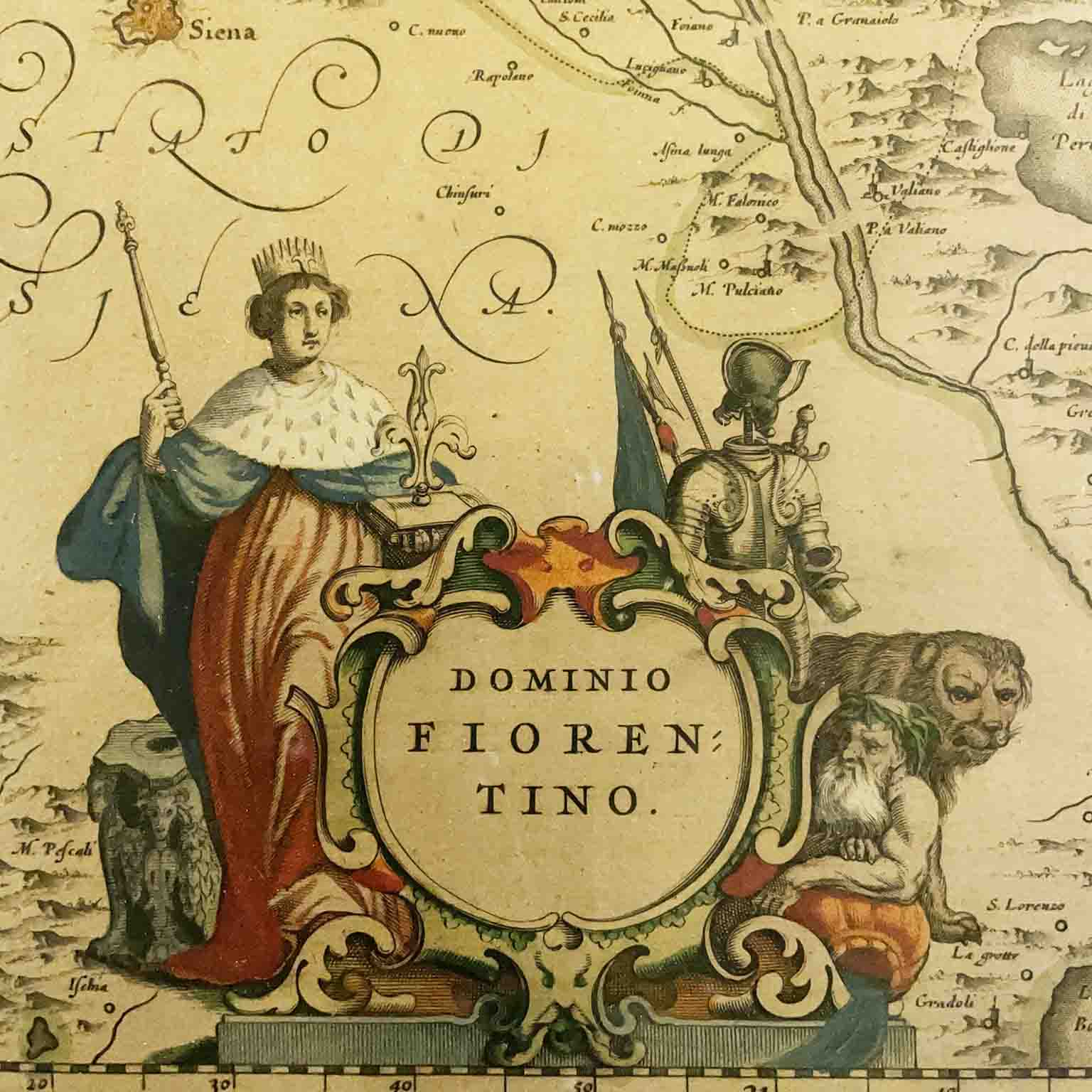
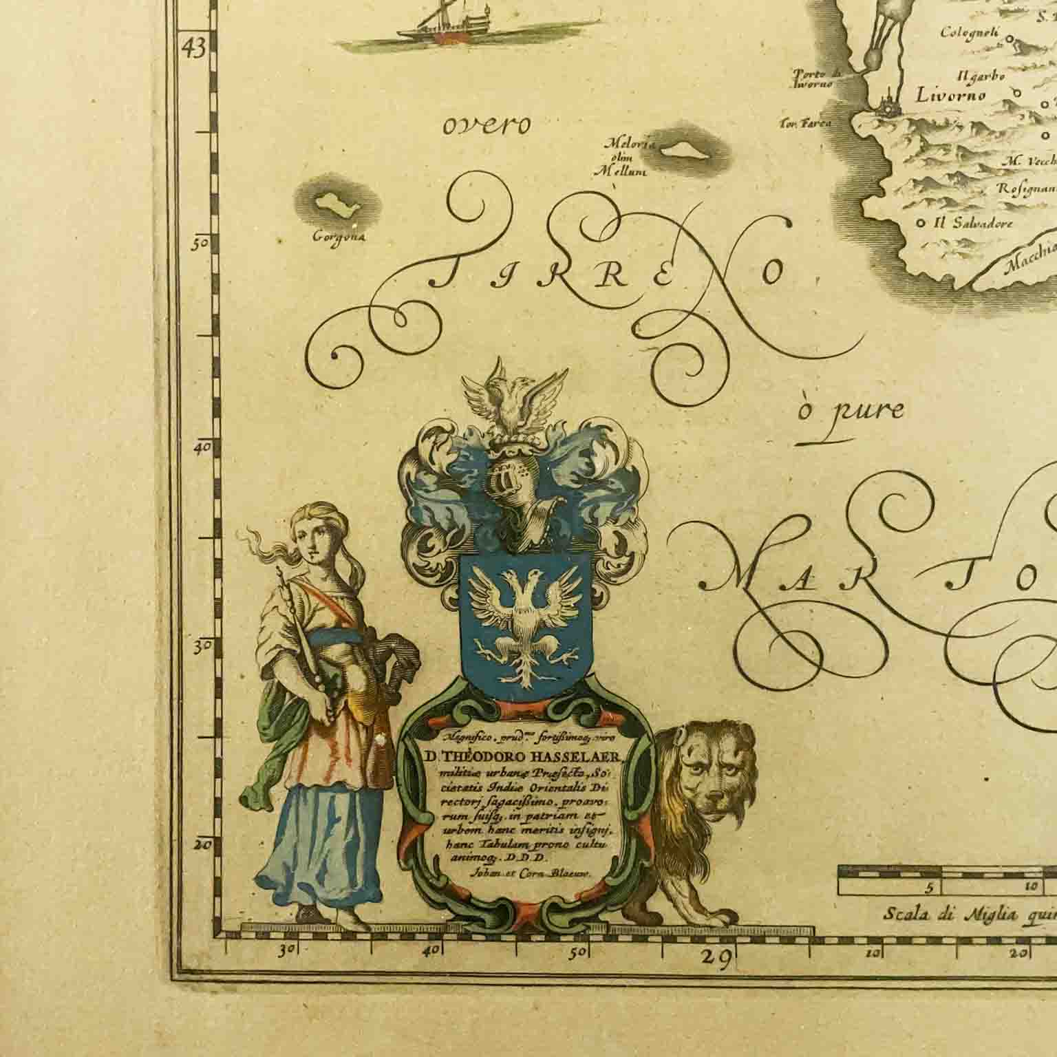
Theodoro Hasselaer, Florentine Domain, 1642 Framed map from 1642 depicting Florence and its surroundings. By Theodoro Hasselaer, printed with the authorization of Johannes Blaeu. The framed map measures approximately 51.3 x x 60 cm. In good condition, with wide margins and slight, widespread signs of yellowing. Originally folded vertically down the center, with the old fold line visible. Generally in black and white, with borders, cities, coats of arms, and figures painted in color. The frame is modern, with slight signs of wear. The map has not been inspected outside of the frame. Please review the photos and ask any questions before purchasing. A rare map published by Johannas Blaeu (1596–1673), son of William Blaeu. Both were renowned cartographers and mapmakers of their time and helped shape European cartography during its golden age.
Period: 1600
Height: 55,8 (51,3) cm
Width: 64,8 (60) cm
Depth: 2 cm

Thanks to agreements with the most important transport companies we are able to deliver within 72 hours from all over Italy!
Each shipment is traceable and insured for the full value!
The attention and care in packaging allow us always to travel the purchased goods with confidence and safety.
Within each package you will find tax records and the object authenticity certificate.
C.C.I.A.A. di Milano – Rea n° 1353105 | P.Iva 09289030158 | Copyright © 2026